

SkyDeck | End-to-End Drone Data Management
₹9,999.00 (INR)
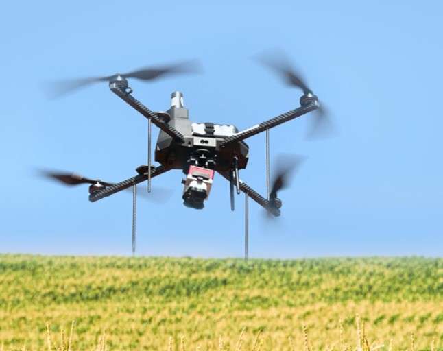
SkyDeck is a cloud-based SaaS platform designed to streamline every aspect of drone operations. From fleet management and flight planning to data processing and AI-powered analysis, SkyDeck enables efficient, scalable, and data-driven drone programs. Its integrated workflow—Plan, Fly, Process, Deliver—ensures operational excellence at every step. Users can transform high-resolution drone imagery into structured, geo-referenced datasets using advanced photogrammetry and web geo-tiling.
With dynamic 2D/3D visualization tools, users can explore, analyze, and interact with data through overlays, tagging, and annotations. SkyDeck brings together powerful tools in one platform, enhancing productivity and enabling intelligent data transformation for smarter decision-making across industries.
Buy Product - https://skydeck.tech/