

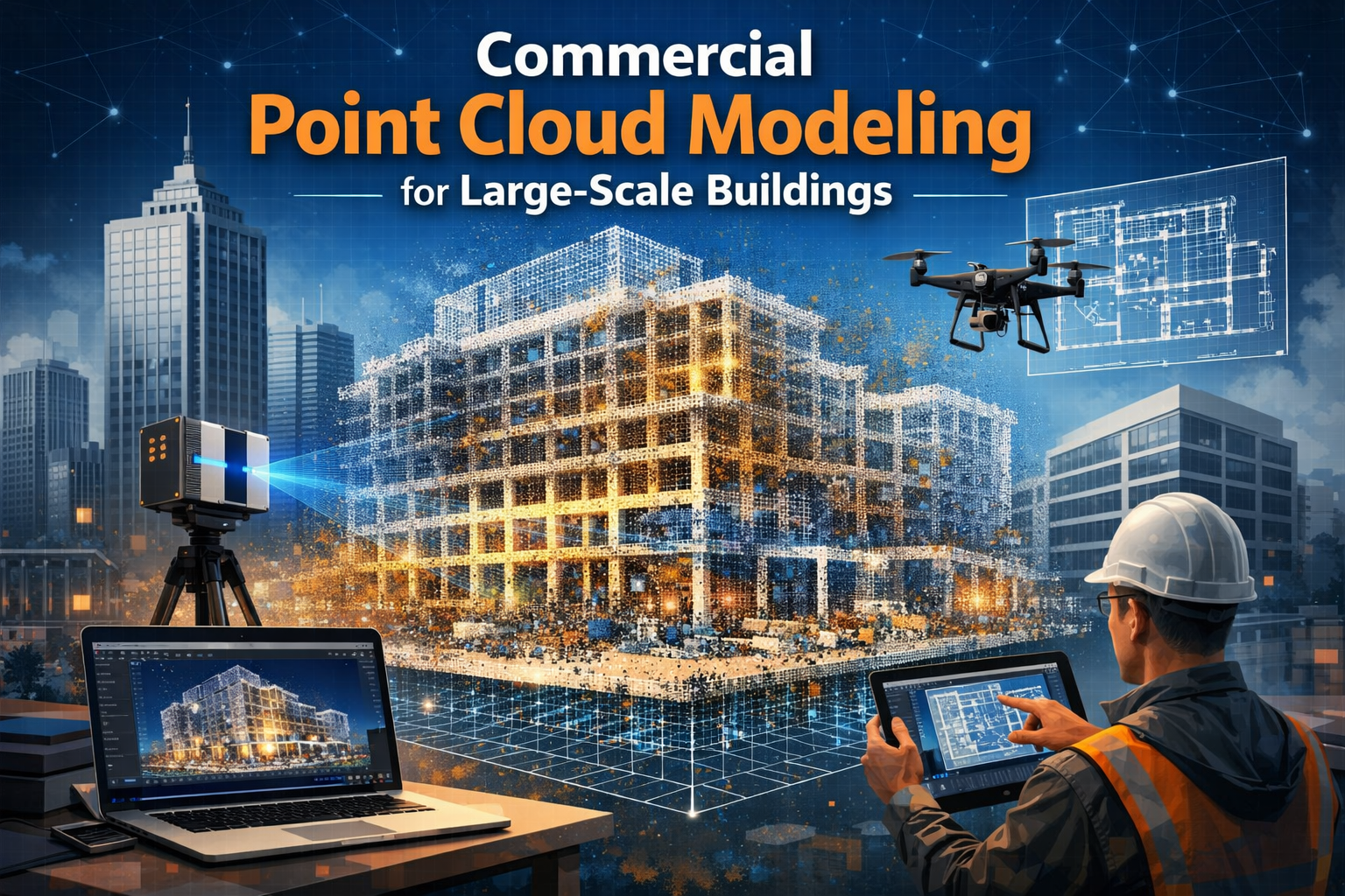
Commercial Point Cloud Modeling for Large-Scale Buildings

Construction projects require intense precision from the very first day. A minor miscalculation during the design phase can lead to massive budget overruns and delayed schedules later on. To avoid these costly errors, industry leaders use advanced spatial technologies to map existing structures. One of the most effective methods available is commercial point cloud modeling.
This technology captures millions of individual data points from a physical space using laser scanners. Software then compiles these points into a highly accurate 3D digital representation. Architects, engineers, and contractors use these exact digital replicas to plan renovations, design expansions, or manage large-scale facilities. You get a perfect snapshot of reality, allowing teams to make informed decisions before a single hammer swings.
Reading this guide will give you a clear understanding of how this technology transforms modern construction. We will explore the core benefits, essential tools, and common challenges associated with spatial data. You will also discover how partnering with experts like Archdraw Outsourcing can streamline your transition from raw data to a fully functional Building Information Model (BIM).
Benefits of Point Cloud Modeling in Large-Scale Building Projects
Large commercial buildings contain complex networks of structural elements, plumbing, and electrical systems. Managing all these components requires extreme accuracy. Point cloud technology delivers millimeter-level precision, capturing the exact dimensions of every beam, pipe, and wall. This level of detail eliminates the guesswork that often plagues manual measuring techniques.
Another major benefit is improved clash detection. When teams design new HVAC systems or plan structural changes, they can overlay their new designs onto the existing point cloud model. Software can automatically highlight areas where the new design intersects with existing structures. Catching these conflicts during the design phase saves significant time and money during actual construction.
Furthermore, this technology keeps all stakeholders on the same page. Property owners, investors, and remote engineering teams can take virtual tours of the site without traveling. Sharing a highly accurate 3D model fosters better communication and ensures everyone understands the project scope.
Key Technologies and Tools Used in Point Cloud Modeling
Capturing a massive commercial building requires specialized hardware. Terrestrial laser scanners, often based on LiDAR technology, are the standard tools for the job. Surveyors place these scanners on tripods throughout the building. The device spins rapidly, emitting laser pulses that bounce off surfaces and return to the sensor, calculating exact distances.
For the exterior of tall structures or sprawling commercial campuses, teams often rely on drones. Equipped with high-resolution cameras or lightweight LiDAR sensors, drones capture the roof and upper elevations safely and quickly. This photogrammetry data merges with the interior laser scans to create a complete, unified model.
Once the hardware captures the raw data, powerful software takes over. Programs like Autodesk ReCap process the massive point cloud files. Teams then import this processed data into BIM authoring tools like Revit or AutoCAD. Here, professionals trace over the point cloud to create intelligent 3D models containing smart building elements.
Case Studies: Successful Implementations in Commercial Buildings
Historic renovations provide excellent examples of point cloud modeling success. Older commercial buildings rarely have accurate blueprints. During a recent renovation of a century-old theater, contractors used laser scanning to map the intricate plasterwork and sagging roof trusses. The resulting point cloud allowed architects to design custom steel supports that fit perfectly into the warped, irregular spaces, preserving the building's historical integrity.
Large-scale industrial retrofits also rely heavily on this technology. When a manufacturing company needed to upgrade its assembly line, shutting down the factory for manual measurements was entirely out of the question. Surveyors scanned the active facility over a single weekend. Engineers then used the spatial data to design new conveyor systems that routed perfectly around existing columns and machinery. The installation went smoothly with zero unplanned downtime.
Challenges and Solutions in Point Cloud Data Processing
While the benefits are clear, managing point cloud data comes with specific hurdles. The most immediate challenge is file size. A comprehensive scan of a multi-story office building generates hundreds of gigabytes of data. Storing, sharing, and rendering these massive files requires high-performance computers and robust cloud storage solutions. Many firms struggle to upgrade their IT infrastructure to meet these demands.
Another significant hurdle is the time and skill required to convert raw data into a usable BIM model. Scanners capture everything in their line of sight, including temporary scaffolding, trash cans, and people. Cleaning this "noise" from the data and accurately tracing the geometry takes extensive training.
To overcome these roadblocks, many architecture and engineering firms choose to partner with specialized service providers. Companies like Archdraw Outsourcing have the dedicated processing power and experienced technicians required to handle massive datasets. Outsourcing the scan-to-BIM process allows local teams to focus on design and project management rather than struggling with heavy file processing.
The Future of Point Cloud Modeling in Construction and Architecture
The next generation of spatial modeling will lean heavily into automation. Artificial intelligence and machine learning algorithms are getting better at recognizing objects within a point cloud. Soon, software will automatically identify a shape as a door, a window, or a structural column, instantly converting raw points into a smart BIM element with minimal human intervention.
We are also seeing a shift toward continuous, real-time scanning. Instead of scanning a building once, construction sites may employ autonomous robots or drones to scan the project daily. This continuous data feed will allow project managers to track construction progress against the original design in real time, catching deviations the moment they occur.
Maximizing Efficiency and Accuracy with Point Clouds
Accurate spatial data is the foundation of any successful large-scale construction or renovation project. By capturing the exact physical reality of a site, teams can design with confidence, reduce costly rework, and keep complex projects on schedule. As hardware becomes more accessible and software becomes smarter, scanning will soon be a mandatory step for every commercial property.
If you are ready to integrate this technology into your next project, start by evaluating your team's hardware capabilities and modeling expertise. Partnering with professionals like Archdraw Outsourcing can help you bridge any skill gaps, ensuring your raw scan data translates into a highly accurate, ready-to-use building model. Embrace the power of spatial data and build your next commercial project on a foundation of absolute precision.