
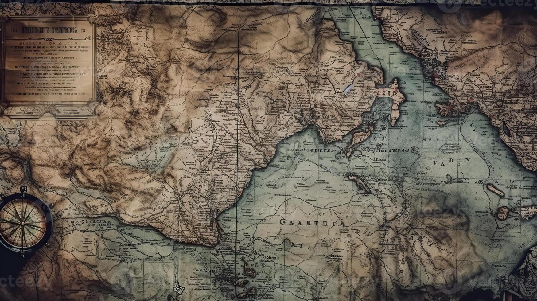
Vintage Cartography: Exploring the Beauty and History of Antique Maps

Vintage cartography is the art and practice of creating, collecting, and studying historical maps that reveal how people understood the world in earlier times. These maps offer more than geographical information because they preserve stories about exploration, trade, cultural development, political boundaries, and changing ideas about distant lands. Every antique map provides a fascinating connection between the past and the present, allowing collectors, historians, researchers, and interior design enthusiasts to appreciate the development of geographical knowledge.
From beautifully illustrated world maps to detailed city plans and nautical charts, vintage cartography brings together historical research, artistic craftsmanship, and geographical discovery. The appeal of these maps lies in their ability to transform complex historical information into visual works that remain interesting and valuable for generations.
The Origins and Development of Historical Maps
The history of cartography extends back thousands of years. Early civilizations created maps to record settlements, identify important routes, organize agricultural activities, and understand surrounding territories. Although these early examples differed greatly from modern maps, they established the foundations of geographical representation.
As societies developed, mapmaking became increasingly sophisticated. Ancient Greek scholars contributed mathematical principles to geographical study, while Roman maps supported transportation, administration, and territorial organization. In other parts of the world, including China and the Islamic world, scholars developed important methods for recording landscapes, measuring distances, and documenting geographical knowledge.
During the medieval period, maps frequently reflected religious beliefs, regional traditions, and the limited geographical information available to their creators. Later, improvements in navigation, printing, and scientific observation transformed map production. By the fifteenth and sixteenth centuries, European exploration and expanding international trade encouraged the creation of maps that represented previously unfamiliar coastlines, islands, and continents.
These developments established many of the traditions that make vintage cartography so appealing today. Historical maps capture the geographical understanding of their particular period, including both accurate observations and misconceptions that were gradually corrected.
The Artistic Appeal of Vintage Cartography
One of the most attractive features of vintage cartography is its combination of information and artistic expression. Historical mapmakers often incorporated decorative borders, elaborate lettering, illustrated sea creatures, sailing ships, compass roses, and detailed landscape imagery into their work.
These decorative elements were not always included merely for appearance. Some communicated maritime knowledge, identified important geographical features, represented cultural beliefs, or highlighted the significance of particular locations. Engraved lettering and carefully arranged labels also helped readers navigate complex geographical information.
Many antique maps display distinctive visual qualities associated with the printing techniques of their period. Fine engraved lines, delicate shading, traditional lettering, and carefully balanced compositions give these objects a character that differs from contemporary digital maps.
For collectors, the artistic quality of a map can be just as important as its geographical accuracy. A historically significant map with elegant decoration may attract interest from both cartography enthusiasts and people who appreciate traditional illustration.
Types of Vintage Maps Worth Exploring
Vintage cartography includes several categories, each offering a different perspective on historical geography. Understanding these categories helps collectors identify maps that match their interests.
Antique World Maps
Antique world maps provide a broad view of how geographical knowledge developed over time. They frequently reveal changing representations of continents, oceans, islands, and trade routes. Earlier examples may contain unfamiliar coastlines or incomplete depictions of distant regions, while later editions often demonstrate improved geographical understanding.
These maps are particularly interesting because they document the gradual expansion of knowledge about the planet. Collectors often compare different editions to observe how cartographers revised their work as new information became available.
Vintage City Maps
Historical city maps document the development of urban environments. They can show old street layouts, public squares, waterways, markets, railway lines, defensive walls, and important buildings.
Researchers use these maps to investigate how cities expanded, how transportation networks changed, and how neighborhoods developed. For collectors with a personal connection to a particular place, a vintage city map can also preserve a meaningful image of its earlier appearance.
City maps can be especially appealing when displayed in offices, libraries, living rooms, and study areas because they combine local history with decorative character.
Antique Nautical Charts
Nautical charts were created to help sailors navigate coastlines, harbors, channels, and open waters. Historical examples may include depth information, navigational markings, coastal profiles, compass roses, and details about maritime hazards.
These charts are valuable for understanding the history of navigation and international commerce. They also appeal to people interested in maritime exploration, historic sailing vessels, and coastal communities.
The information presented in an old nautical chart must be understood in its historical context. Such documents are valuable research objects, but they should not replace current official charts for practical navigation.
Historical Regional Maps
Regional maps focus on specific territories, provinces, countries, or geographical areas. They may document former administrative divisions, changing borders, settlements, roads, rivers, and agricultural regions.
These maps can support historical research by showing how territories were understood and organized during different periods. Comparing regional maps from different dates may reveal changes in political authority, transportation, settlement patterns, and place names.
Vintage Road and Railway Maps
Road and railway maps illustrate the development of transportation systems. Older examples may identify historic highways, railway stations, connecting routes, and important travel destinations.
They offer a visual record of how people moved between communities before contemporary navigation systems became widespread. Collectors interested in transportation history often appreciate the practical detail and distinctive graphic styles found in these maps.
Understanding the Historical Significance of Antique Maps
A vintage map should be viewed as a historical document rather than simply an attractive picture. Its features can reveal information about the society that produced it, including its commercial interests, scientific knowledge, political priorities, and cultural assumptions.
For example, a map created during a period of expanding maritime trade may emphasize ports, shipping routes, and coastal settlements. A map produced for administrative purposes may focus on territorial divisions, property boundaries, or regional centers.
Historical maps can also preserve former place names that no longer appear on modern maps. These names may help researchers identify historical documents, trace migration patterns, and understand the development of local identities.
Another important consideration is the difference between the date of a map's original design and the date of the physical copy. A map may have been reproduced or reissued years after its first publication. Examining publication details, printing characteristics, and historical records helps establish a more reliable understanding of its age.
How to Evaluate Vintage Cartography
Evaluating an antique map requires attention to several factors. Age is important, but it does not automatically determine rarity, historical significance, or market value.
The mapmaker is one useful starting point. Maps associated with recognized cartographers, publishers, engravers, or geographical institutions may attract particular interest. However, lesser-known mapmakers can also produce historically important works.
Publication date and edition deserve careful consideration. Two maps with similar appearances may represent different editions, and small changes can provide useful historical information.
Condition is another important factor. Collectors should examine paper quality, missing sections, tears, folds, stains, faded printing, and previous repairs. Some deterioration is common in old paper, but extensive damage can affect readability and desirability.
Provenance, which refers to the documented ownership history of an object, can also support research into a map's authenticity and significance. Original publication information, catalog records, and reliable descriptions help establish a clearer history.
Finally, the map's subject matter can influence its appeal. A rare regional map, an important early city plan, or a historically significant nautical chart may attract specialized collectors even when it is less visually elaborate than other examples.
Vintage Cartography in Interior Design
Vintage maps offer an effective way to introduce history, character, and geographical interest into interior spaces. Their distinctive layouts and traditional printing styles can complement a wide range of decorating approaches.
In a home office, a framed world map can create a thoughtful focal point while reflecting an interest in travel, exploration, or historical research. A city map can provide a more personal decorative element, especially when it represents a location with family or professional significance.
Libraries and reading rooms are natural settings for historical maps because they complement books, archival materials, and traditional furniture. In contemporary interiors, a carefully selected antique map can provide contrast against simple furniture and clean architectural lines.
Large maps can work well as central display pieces, while smaller examples can be arranged as a coordinated collection. When displaying several maps together, collectors can select a shared theme, such as maritime exploration, historic cities, or changing national boundaries.
Framing choices should respect the age and condition of the paper. Archival-quality mounting materials and protective glazing can help reduce exposure to environmental damage. Original maps should not be permanently attached to decorative boards or altered simply to fit a particular frame.
Collecting and Preserving Antique Maps
Building a vintage cartography collection can be an enjoyable way to explore history. Some collectors focus on a particular country or city, while others concentrate on maps from a specific historical period or maps produced by particular cartographers.
Beginning with a clear collecting interest helps make research and purchasing decisions more manageable. Learning about established publishers, historical printing methods, and recognized map catalogs can also help collectors distinguish original examples from later reproductions.
When purchasing a map, request accurate information about its publication date, edition, dimensions, condition, and previous restoration. If authenticity is uncertain, seek advice from a specialist familiar with historical cartography.
Proper storage is essential for preserving old maps. Paper should be kept in a stable environment away from direct sunlight, excessive moisture, and sudden changes in temperature. Acid-free folders, archival enclosures, and suitable flat storage can help protect fragile documents.
Maps should be handled with clean, dry hands and supported carefully when moved. Fragile, torn, or unusually valuable examples may require assistance from a qualified paper conservator. Attempting repairs without appropriate knowledge can cause further damage.
The Role of Vintage Cartography in Education and Research
Historical maps remain useful resources for students, educators, historians, architects, urban planners, and cultural researchers. They provide visual evidence that can support the study of geographical change and historical development.
Teachers can use antique maps to explain how scientific knowledge evolves and how historical events influence the representation of the world. Students can compare old and contemporary maps to identify changes in coastlines, transportation systems, settlement patterns, and political boundaries.
Urban researchers may consult historic city plans to investigate the expansion of residential districts or the development of public infrastructure. Environmental historians can examine older maps to understand how rivers, forests, agricultural areas, and coastlines were represented at particular times.
Digital archives have made many historical maps easier to study. High-resolution reproductions allow researchers to examine labels, decorative details, and geographical features without repeatedly handling fragile originals. Nevertheless, researchers should consider the source, date, scale, and intended purpose of each map before drawing conclusions from it.
Digital Technology and the Future of Historical Cartography
Modern technology has created new opportunities for preserving and studying vintage maps. Digitization allows libraries, museums, universities, and private collections to share historical materials with wider audiences.
Geographic information systems can also help researchers compare historical maps with modern geographical data. When properly aligned and interpreted, these comparisons may reveal changes in urban development, land use, transportation networks, and territorial boundaries.
Online collections make it possible for enthusiasts to explore maps from different countries without visiting every institution that holds original documents. Digital catalogs can provide publication information, historical context, and high-resolution images that support independent learning.
Despite these developments, original maps retain a special appeal. Their physical paper, printing marks, engraved details, and signs of historical use provide qualities that digital reproductions cannot fully communicate. Digital preservation and physical collecting therefore serve complementary purposes.
Choosing Vintage Cartography for a Personal Collection
Selecting a vintage map is most rewarding when historical interest and personal preference guide the decision. Someone fascinated by maritime history may prefer nautical charts, while a person researching family heritage may choose maps of an ancestral town or region.
Collectors should consider the available display space, preservation requirements, and authenticity of the item before purchasing it. A smaller original map with a well-documented history may be a more suitable choice than a large decorative reproduction presented with limited historical information.
It is also helpful to maintain records for each acquisition. Notes about the mapmaker, publisher, publication date, source, condition, and purchase details can support future research and help organize the collection.
Over time, a carefully selected group of maps can develop into a personal historical archive. Each item contributes a different perspective on how people recorded places, communicated geographical knowledge, and understood the world around them.
Conclusion
Vintage cartography combines historical documentation, artistic craftsmanship, and geographical discovery in a distinctive and enduring form. Antique world maps, city plans, nautical charts, regional maps, and transportation maps each preserve valuable information about the past.
Whether collected for research, displayed as decorative artwork, or studied for educational purposes, historical maps encourage a deeper understanding of changing landscapes and human knowledge. By evaluating authenticity, understanding historical context, and following appropriate preservation practices, enthusiasts can appreciate these remarkable documents for years to come.
The lasting appeal of vintage cartography lies in its ability to connect generations through the visual record of places and journeys. Every map offers an opportunity to explore a different period, discover overlooked details, and understand how our knowledge of the world has developed over time.